Witenwasserenstock/
Passo dei Sabioni (CH)
This triple point of the European watershed is located at 3025 metres between the Witenwasserenstock and the Passo dei Sabbioni. Situated in the Gotthard region, it also forms the tripoint of the cantons of Uri-Valais-Ticino and separates the three regions of Urseren, Goms and Bedretto. The water flows from here north towards the North Sea (Rhine), southwest towards the Mediterranean (Rhône) and southeast towards the Adriatic (Po).
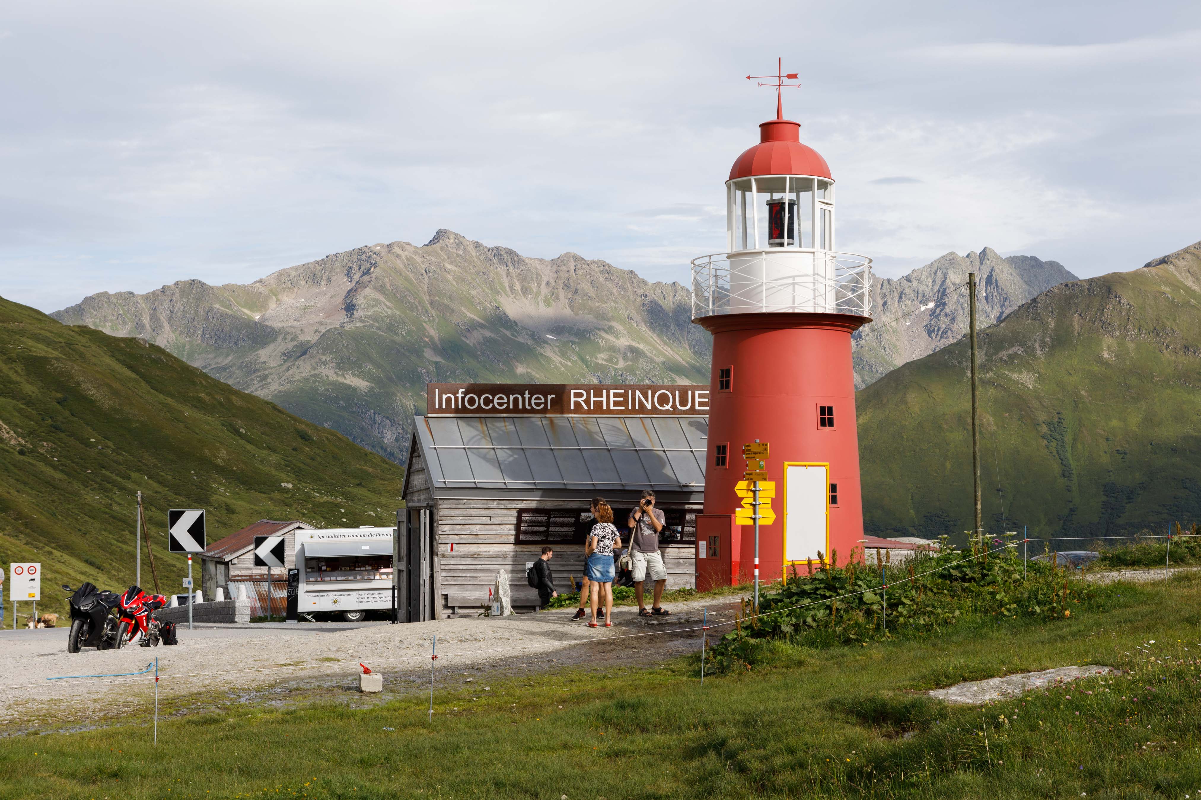
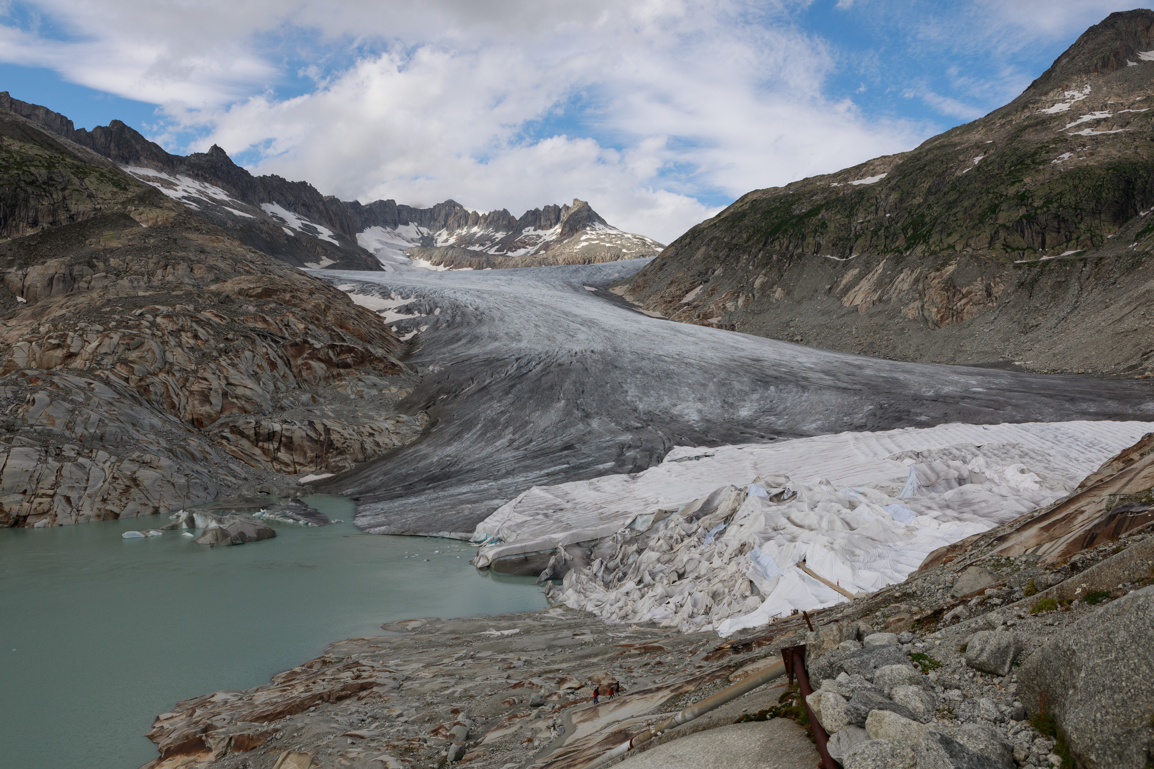
The point is remote in a high alpine area, but is now accessible by a new hiking trail from the Uri side. The construction of this path and the tourism boom in the Andermatt region in general will be discussed, as well as the melting of the glaciers and the consequences for the water supply and electricity production.
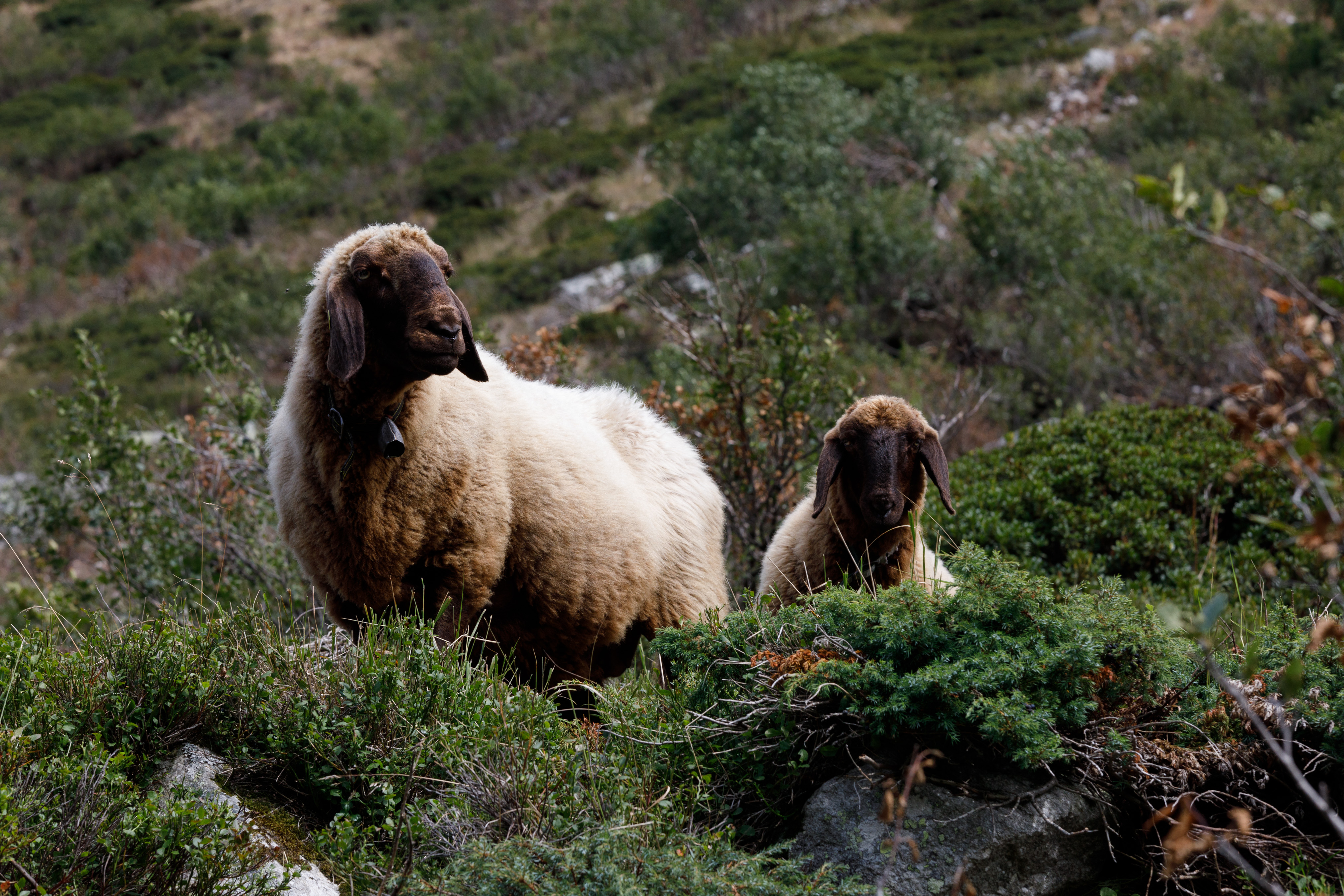
In the Urseren Valley we visited the “Corporation Urseren”, an ancient form of cooperative that owns almost all the land and treats water management a.o. in a very basic democratic way. The bush encroachment due to the decline in alpine farming was an ecological topic of interest. We visited scientist of ALPFOR, who try to slow down this undesirable change of landscape by grazing sheep.
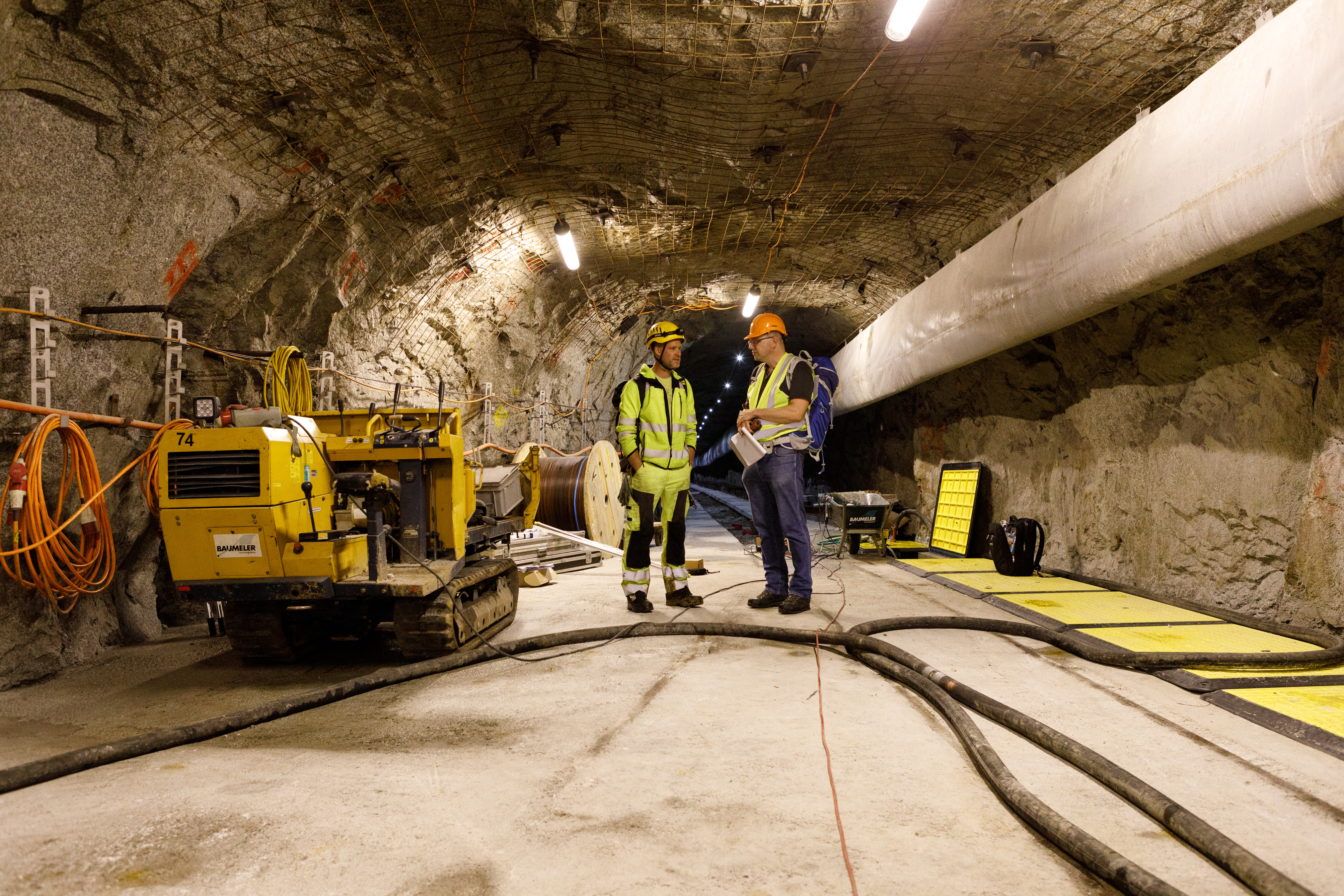
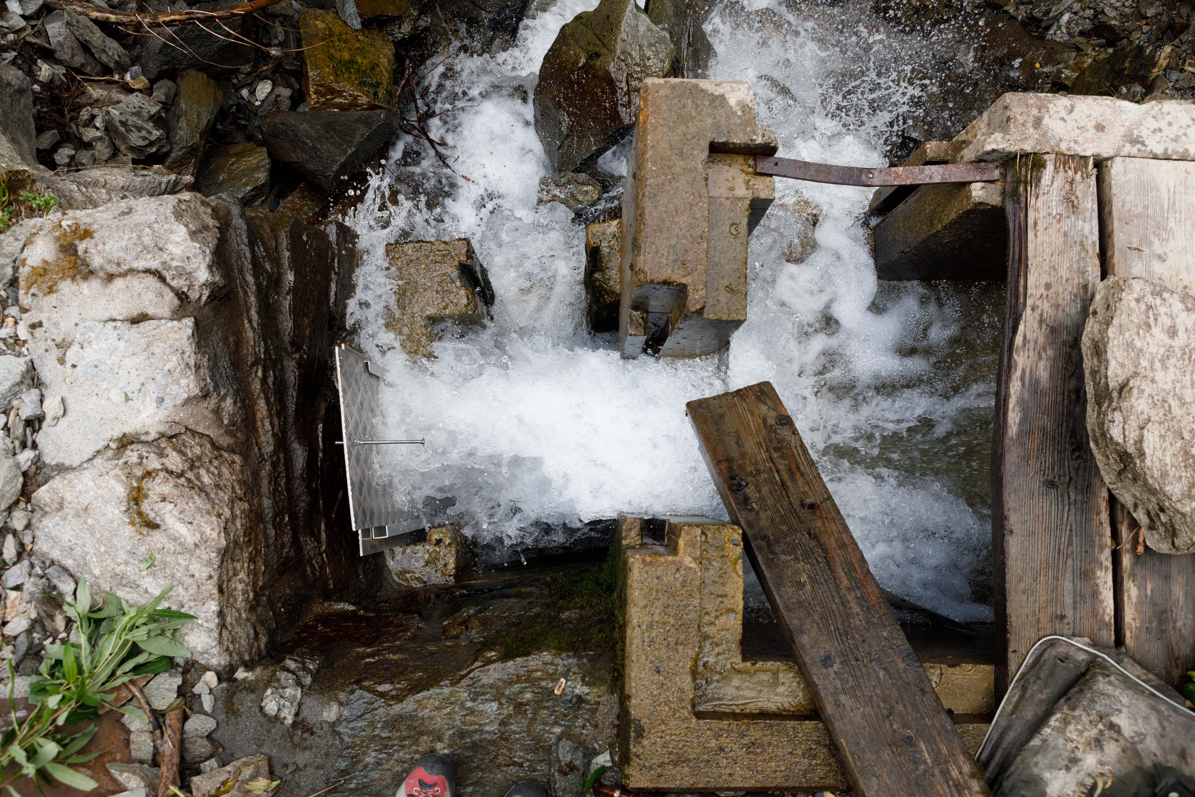
In Ticino we were in the geothermal testing laboratory Bedrettolab of the ETH in an old tunnel, in Valais we visited the beautiful village of Ernen, where we learned about the irrigation system of the Suonen, a centuries-old network of water channels.